

Uncategorised
Drone technology has enabled remarkable aerial imagery of real estate.
Real Estate Video and Photography will give a good impression of the property and surrounding area.
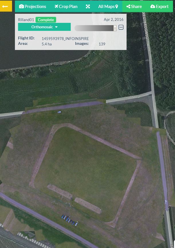
It is mandatory for airport operators to maintain the aerodrome according to international standards and maintaining a safe aviation environment.
Some of the tasks of the operator is inspection of runways and taxiways as well as Bird control.
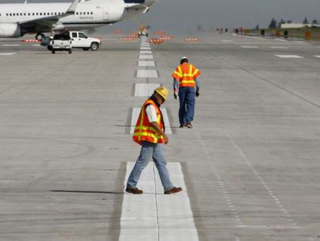
RPAS Services provide pavement inspection using RPAS and sensor technology providing substantial timesaving for operations close down of the runway and taxiways.
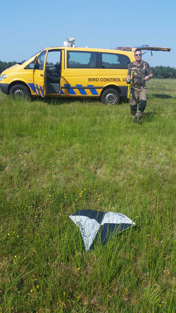
Multi spectrum sensors are used to inspect the grassland next to runway and taxiways. This will result in actual vegetation reports which are used for Bird control.
RPAS inspections for airport operators will provide efficient inspections being done and will reduce costs for proper maintenance and management of the airport assets.
For more information please contact RPAS Services.


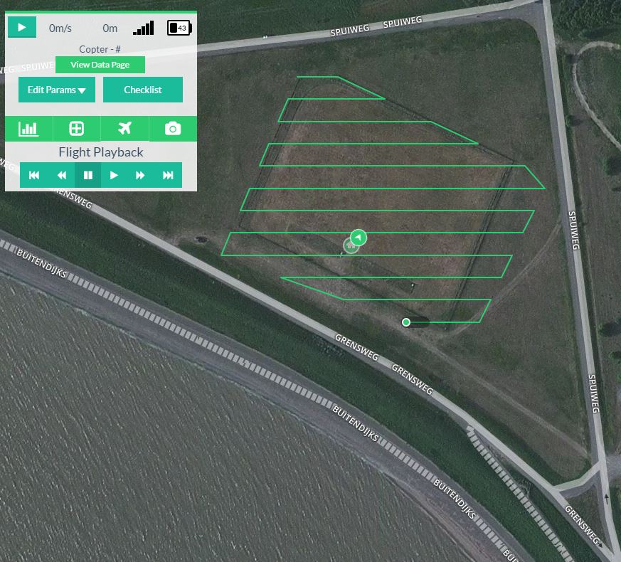
There are several ways to apply drone photography to improve the results in a farming business. Although a purpose-built drone for precision farming can be very costly, RPAS Services is using the PH 1KS, the DJI Phantom 3 Professional, which is equipped with a Multispectrum camera and is used for precision farming by using special software. With this drone we can capture various data about plants, trees, farms, fences fields, traces of agricultural vehicles and other data for precision farming.
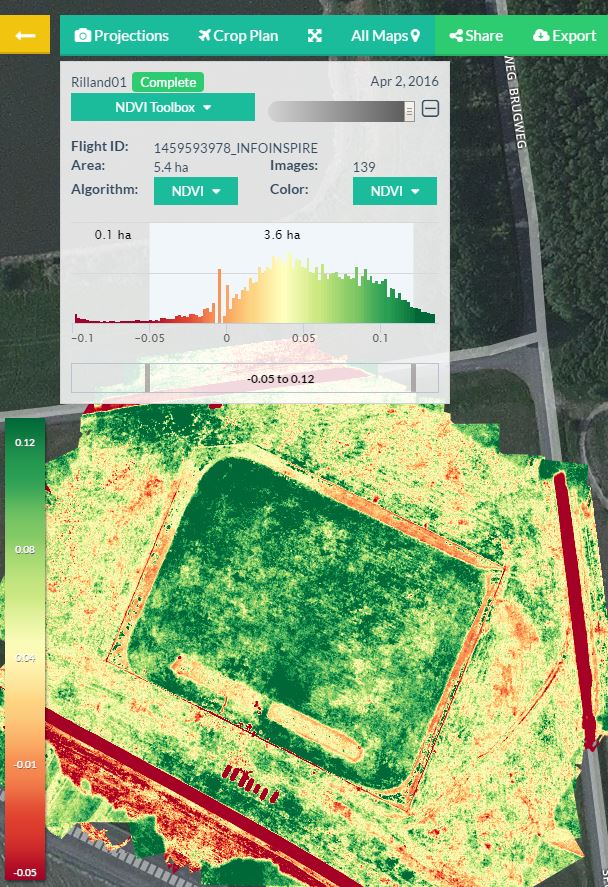
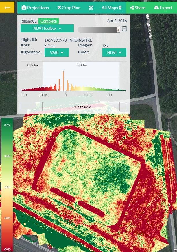
The images that we capture can also be used to create e.g. NDVI (vegetation volume and condition) reporting. NDVI can show for example, how well the different parts of the land absorb water from irrigation, and where the different kinds of weeds is growing in the crops.
The key success factor of photopraphic-mapping is that these images are grouped geographically with special software in a recognizable overall picture of the field by imaging processing so that the various colors and reflections of light are converted into readable information such as NDVI or ENDVI reporting. The colorful images provide good view where the crop grows well, is too dry, et cetera.
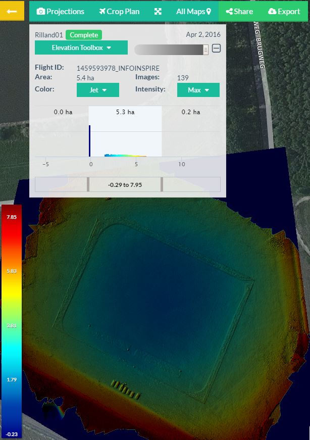
At the same time height images, 3D images and an Ortho Mosaic image are processed and reported. The 3D model can then manually moved into other projections.
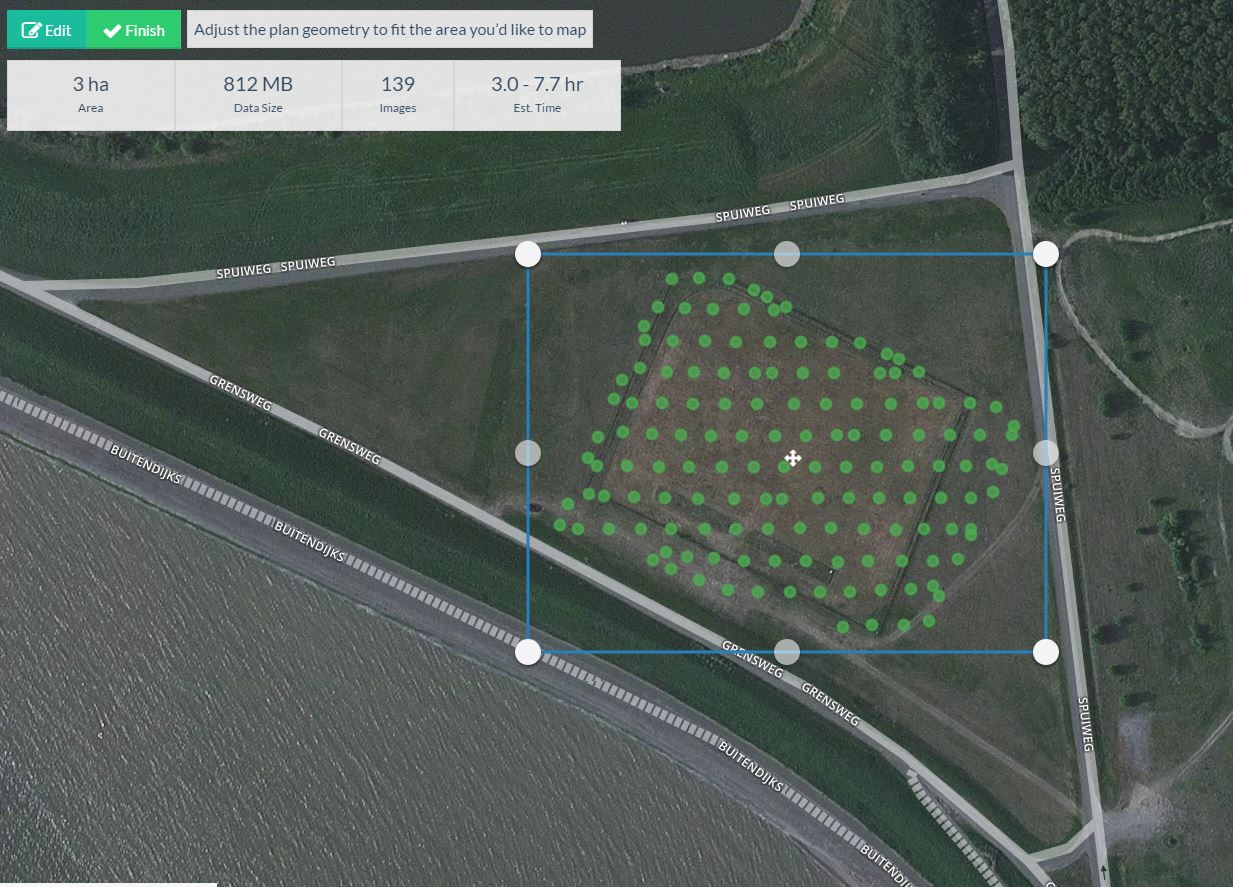
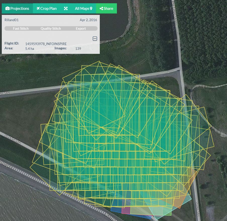
During a few minutes flight about 20 images (1 acre) are made up to 250 images (90 ha) during a flight of 30-45 minutes. Then we process the images with special software which will be included an operational instructiuons for the farmers.
For more information please contact RPAS Services.
RPAS Services is providing services in the following areas:
Pilot projects for testing RPAS technology in industrial and logistic environments
Inspection of industrial installations (onshore, offshore)
Aerial surveying
Safety & Security
Precision Farming / Agriculture development
Emergency services
RPAS detection and anti-RPAS systems
RPAS close protection for VIPS
Law enforcement
Aerial photography
Page 3 of 3
